TECHNOLOGIES

Unmatched Precision

Advanced Technologies

IGS utilizes various technologies to conduct geoscience mapping and research. These tools provide us with world-class and high-quality geoscience datasets that allow us to provide solutions across the mineral, energy, groundwater, environments and geohazards research.

Geophysical Technologies for Precise Exploration and Mapping

Magnetotelluric (MT)
Electromagnetic (EM)
Induced Polarization (IP)
Resistivity
Magnetic
Gravity
Seismic (Reflection, Refraction,
MASW)
Unmanned Aerial Vehicles (UAV)
surveys
Light aircraft surveys
1D, 2D and 3D Inversion modelling
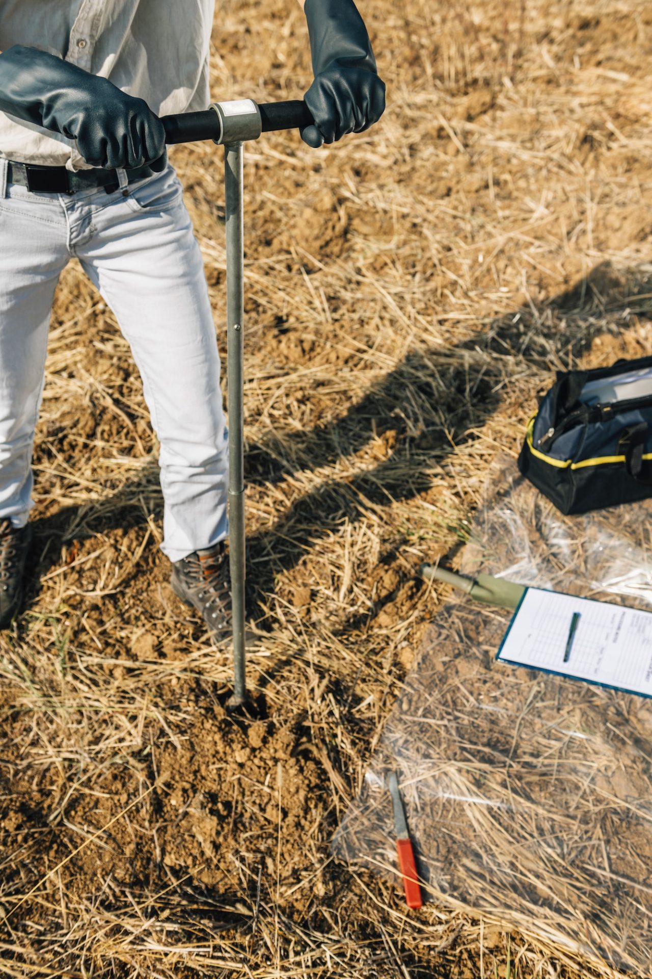
Geological mapping and soil sampling
Geochemical surveys
Soil Sampling. Agronomist Taking Sample With Soil Probe Sampler